



In the context of climate change and the increasing risk of natural disasters, regular monitoring of glaciers, snow reserves, and potentially dangerous glacial lakes is one of the priority areas of the Government of the Republic of Tajikistan's policy on environmental protection and water security.
In this regard, as part of the implementation of the State Program for the Study and Preservation of Glaciers in Tajikistan for 2010–2030, the Agency for Hydrometeorology under the Committee for Environmental Protection under the Government of the Republic of Tajikistan conducts annual surveys of snow reserves, glaciers, proglacial lakes, and potentially dangerous glacial lakes using aerial visual observations. These observations, carried out three to four times a year, play a key role in assessing water resources, preparing hydrological forecasts, and supporting disaster risk reduction and early warning.
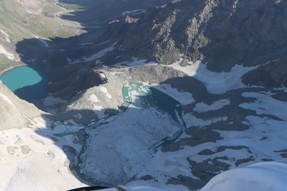
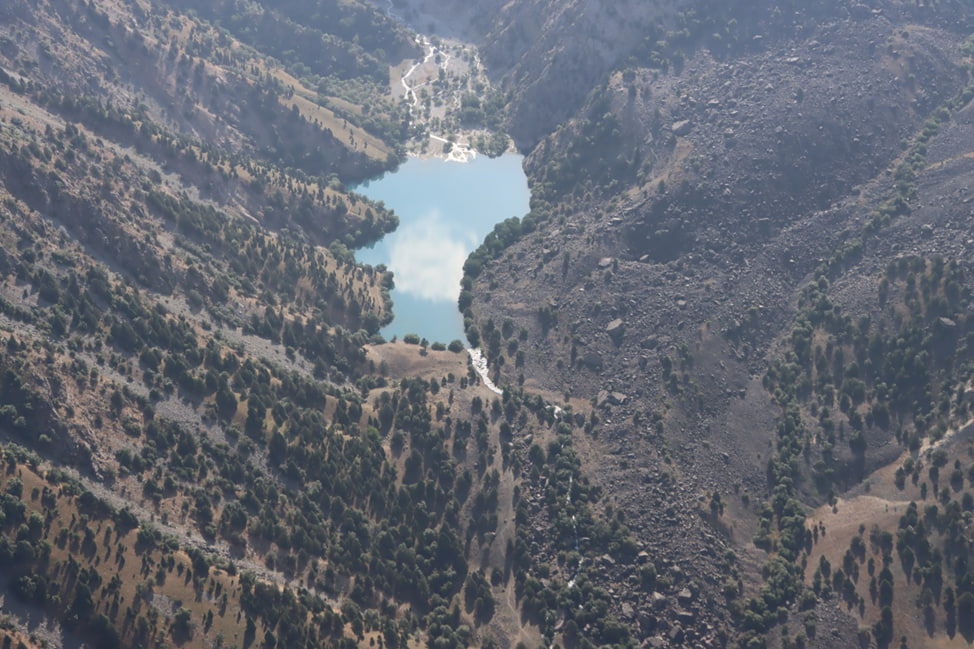
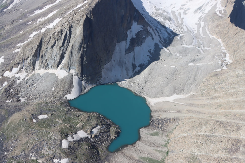
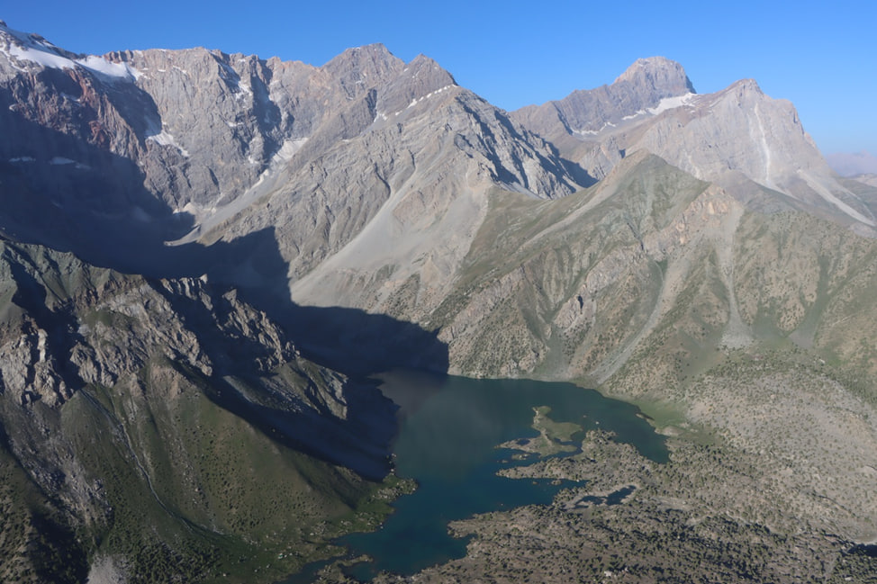
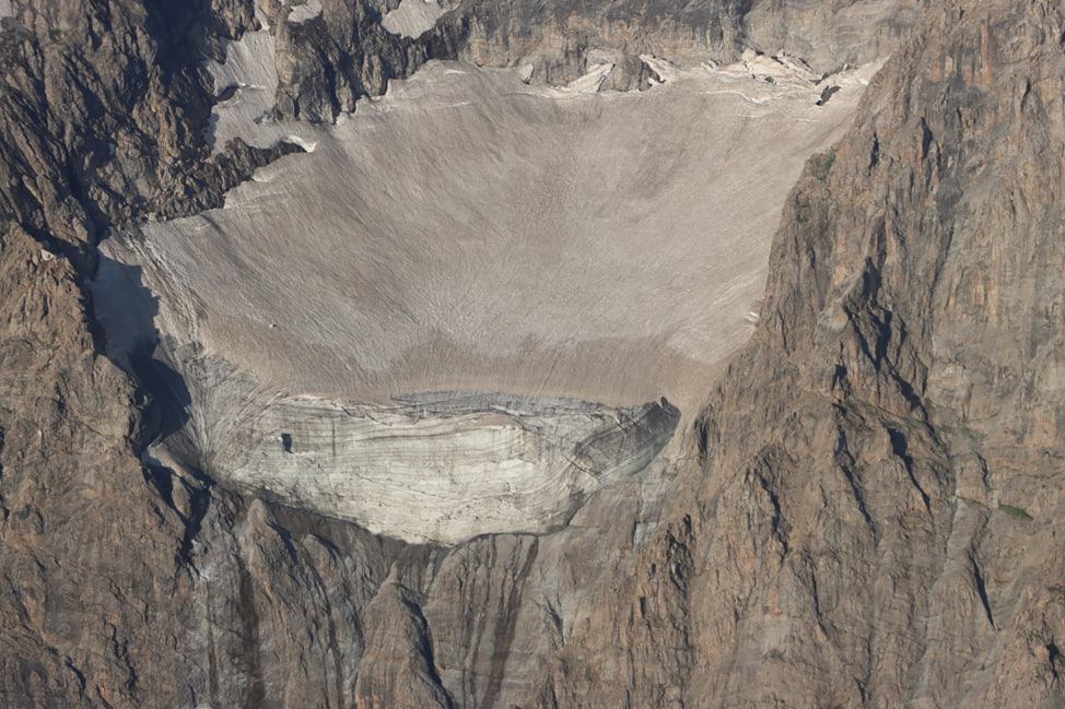
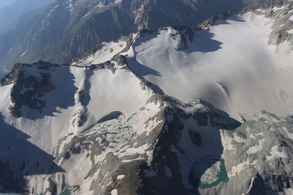
On 28 July 2026, specialists from the Agency for Hydrometeorology carried out another aerial visual observation mission in the Karatag River Basin, as well as in the Shing and Haftkul areas of the Zeravshan River Basin. During the flight, a detailed survey of snow reserves, glaciers, proglacial lakes, and other key cryosphere features was conducted using field observation methods and aerial photography.
One of the key findings of the survey was that approximately 95 percent of the seasonal snow cover in the study areas had completely melted. This indicates that intensive summer snowmelt is continuing and has a direct impact on river runoff formation, water resource availability, and the hydrological regime of the region. Therefore, regular monitoring of these processes is essential for forecasting water resources and ensuring their effective management.
At the same time, the current condition of glaciers and glacial lakes was assessed during the survey flight. The observations confirmed that these features are under continuous monitoring by specialists, and the collected data are used to analyze changes in the cryosphere, assess the impacts of climate change, and identify future development trends.
Special attention was also given to areas with a potential risk of natural hazards, including debris flows, landslides, glacial lake outburst floods (GLOFs), and other hazardous hydrometeorological phenomena. Timely assessment of these areas makes it possible to evaluate risk levels and provides a scientific basis for developing more accurate forecasts and implementing preventive risk reduction measures.
The data collected are used not only for hydrological forecasting and water resource monitoring but also serve as a scientific basis for shaping national policies on climate change adaptation, glacier preservation, and disaster preparedness. In this regard, the Agency for Hydrometeorology's systematic work in conducting aerial visual observations, collecting scientific data, and strengthening the environmental monitoring system is of strategic importance for ensuring the country's environmental and water security. The results of these observations contribute to the effective implementation of the State Program for the Study and Preservation of Glaciers in Tajikistan for 2010–2030. They also make a significant contribution to the advancement of cryosphere research, the enhancement of the early warning system, and the protection of the population from the impacts of natural disasters.

30.07.2026